

How Smart Boundary Planning Can Save You Money on BNG
With Biodiversity Net Gain (BNG) now a legal requirement under the Environment Act 2021, being strategic about your red and blue line boundaries is one of the most overlooked techniques for reducing costs and avoiding unnecessary BNG obligations. Done well, it can offer real savings and flexibility. Done poorly, it can lock you into uplifts you didn’t need to trigger.
What’s the Difference Between Red and Blue Line Boundaries?
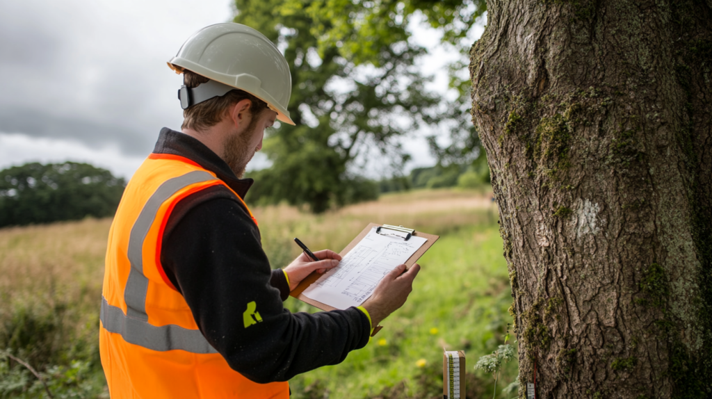
• Red Line Boundary: This defines the area included in your planning application – essentially, the land needed for development, including access and infrastructure. It also marks the area where baseline ecological surveys for BNG must be carried out. Only habitat within the red line can count towards your 10% net gain target.
• Blue Line Boundary: This shows the wider land in your ownership or control that isn’t part of the development proposals. It’s useful for indicating other areas you may wish to enhance in future but don’t want locked into planning conditions just yet.
These lines are more than just administrative – they set the legal scope of your BNG obligations.
Why It Matters
Imagine you own a large plot of land but are only developing 30 - 40% of it. The rest could include semi-natural grassland, woodland, or other valuable habitats. If your red line matches your blue line, your entire landholding is included in the BNG baseline – and you’re on the hook for a 10% uplift across the whole area.
But if you restrict the red line just to the land you’re actually impacting, your BNG obligations are proportionally reduced. That can dramatically lower your uplift requirements, avoid triggering complex habitat mitigation, and cut costs.
A Smarter Strategy
To maximise flexibility and minimise BNG exposure:
1. Ask your ecologist to complete two baselines – one for the red line, and one for the wider blue line landholding.
2. Use the red line baseline in your planning application – ensuring your BNG commitment is limited to the actual development footprint.
3. Keep the blue line land flexible – if you choose to enhance habitats there later, you can do so outside the constraints of planning conditions.
Yes, there’s a modest cost to producing two baselines – but in most cases, the savings from avoiding unnecessary uplift obligations far outweigh it.
One Size Doesn’t Fit All
That said, strategy is everything – and sometimes, doing the opposite is the smarter call.
Let’s go back to that same site. You’re still developing just 40% of the land – but this time, the remaining 60% is low-quality, heavily degraded grassland with no sensitive habitats and lots of potential for enhancement. In this scenario, it may actually make financial sense to expand the red line to include the whole site.
Why? Because the poor-quality baseline gives you a big opportunity: by including the rest of the land in the red line, you can deliver significant on-site gains without needing to purchase expensive off-site units. You’re essentially absorbing your own uplift obligation within land you already control.
This is why it’s critical to assess your site in detail – not just in terms of where you’re building, but what you’re building on and what’s around it.
Final Thought
Clear, accurate red and blue boundary plans aren’t just validation box-ticks – they’re powerful tools for managing risk, reducing cost, and staying compliant. Developers who take this seriously at an early stage avoid expensive mistakes later.
At Biodiversity Units UK, we specialise in helping developers navigate these strategic decisions. If you’re unsure how to approach your site, get in touch – we’re here to help you find the most cost-effective path to BNG compliance.
Why not get in touch, we’re here to help: info@biodiversity-units.uk